

Key Takeaways
What Patagonia Actually Is (and Isn't)
Patagonia is not a single destination. It's a geographic region covering the southern cone of South America - roughly the bottom third of both Chile and Argentina - and it spans an area larger than Texas and California combined. That scale matters because first-time visitors frequently arrive expecting a tidy circuit and discover something far more sprawling and demanding.
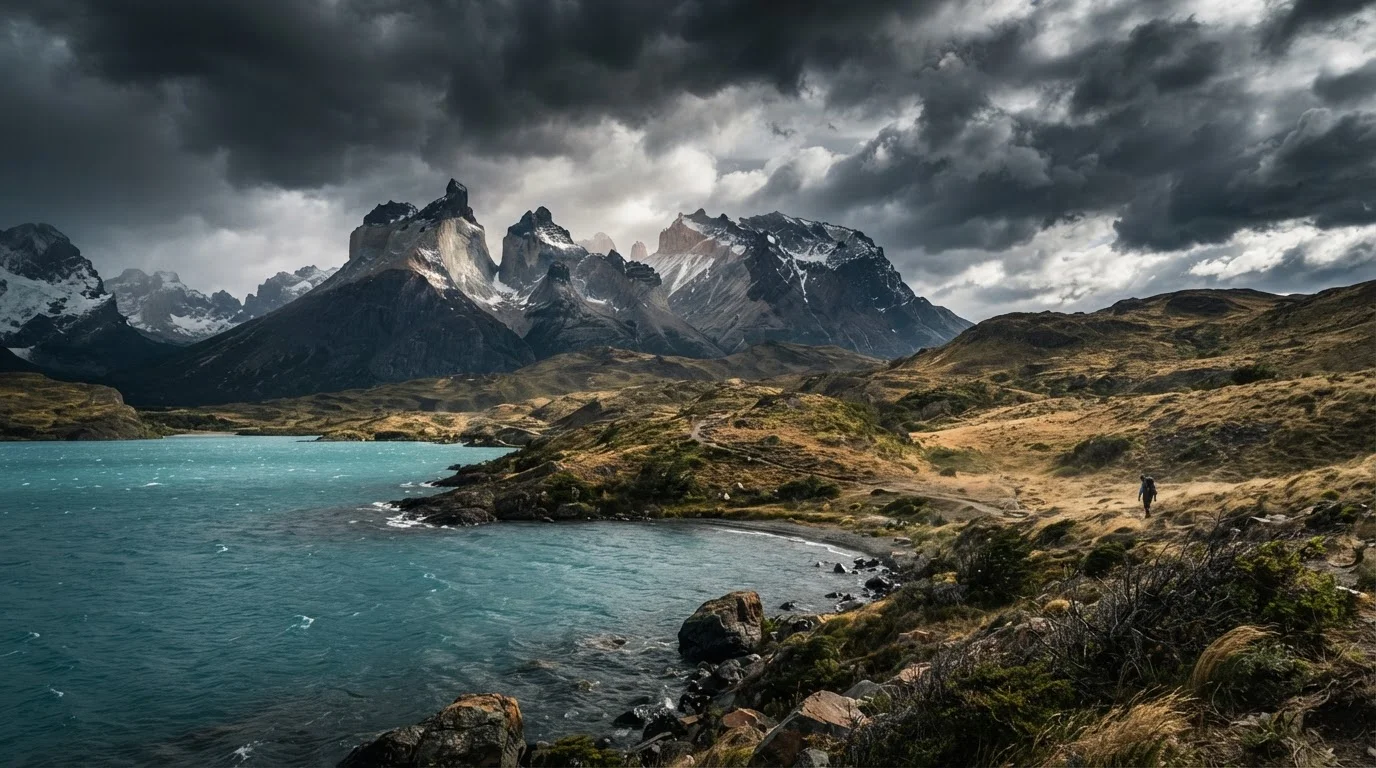
On the Chilean side, the region includes Torres del Paine National Park, the fjords of Aysén, and the remote archipelago of Magallanes. Argentine Patagonia encompasses Los Glaciares National Park (home to Perito Moreno Glacier and the trekking hub of El Chaltén), Peninsula Valdés, and the vast steppe plateau that connects them. These zones share a climate identity - wind, cold, and fast-changing skies - but differ significantly in infrastructure, access, and character.
Understanding this distinction before you build any itinerary is essential. Trying to see "all of Patagonia" in two weeks typically results in seeing very little of it well. For a broader framework on how to structure ambitious trip research, see building an accurate destination picture.
When to Go: Seasons, Wind, and Trade-offs
The austral summer - December through February - is peak season. Days are long, most trails are accessible, and ferry services and park facilities run at full capacity. It's also when wind speeds in the core zones regularly exceed 60 mph, accommodation books out months in advance, and popular treks like the W Circuit in Torres del Paine feel genuinely crowded.
October and November (early spring) and March (early fall) are worth serious consideration. Temperatures are lower but manageable, wind is often calmer, and visitor numbers drop noticeably. March in particular tends to offer stable weather, autumn light, and the added visual reward of turning beech forests. For a practical breakdown of how shoulder timing changes a destination's dynamics, see planning a trip around shoulder season.
Consider Shoulder Season Seriously
March is increasingly considered Patagonia's best month by experienced visitors. Wind is calmer than peak summer, the beech forests turn golden, and park trails are still fully accessible. Booking accommodation even two to three months out is wise, but the frantic competition of December-February eases noticeably.
Winter (June-August) is an entirely different proposition: many trails close, ferry schedules shrink, and some park services suspend entirely. A handful of operators offer winter expeditions for experienced travelers, but it demands specialized preparation and flexibility.
Getting There and Moving Around
Most international travelers arrive via Santiago (Chile) or Buenos Aires (Argentina), then connect to regional airports. Punta Arenas is the primary gateway to Chilean Patagonia; Puerto Natales, about four hours north by road, is the staging point for Torres del Paine. For Argentine Patagonia, El Calafate serves Los Glaciares and Perito Moreno, while El Chaltén - a two-hour drive north - is the access point for the Fitz Roy massif.
Internal movement is where logistics get genuinely complex. Road distances between zones are enormous, and many roads are unpaved. Crossing between Chilean and Argentine Patagonia requires border crossings - some of which are only accessible by ferry, and schedules are seasonal. The legendary Carretera Austral (Route 7) in Chile runs through some of the region's most dramatic scenery, but navigating it requires time, a reliable vehicle (ideally 4WD), and contingency days built in for ferry waits or road closures.
Book internal flights before accommodation - not after. Seats between El Calafate, Punta Arenas, and Puerto Montt are limited, and losing a flight connection in Patagonia can cascade into days of disruption.
Flight capacity in regional Patagonia airports is genuinely constrained, and weather cancellations are common, meaning early booking gives you both a seat and more rebooking options if plans shift.
If you're hiking the W Circuit, treat the first day (arrival at the towers base) as an acclimatization hike - don't push for the full viewpoint unless you're already trail-fit and the weather window is clear.
The Torres viewpoint trail gains around 800 meters in elevation and takes 8-10 hours round trip. Underestimating it on the first day of a multi-day circuit often derails the rest of the trip.
Domestic flights exist between key nodes and are worth considering when the alternative is 10+ hours of rough road. Booking these early matters - capacity is limited, and weather cancellations are frequent.
Key Zones and What Each Demands
Torres del Paine (Chile): The region's most iconic park and also its most logistically structured. The W Circuit (4-5 days) and the full O Circuit (8-9 days) require advance booking for refugios or campsites - sometimes months ahead for peak season. The famous towers viewpoint is a full-day hike with significant elevation gain; it's not a casual stroll.
El Chaltén (Argentina): A free-access trekking village - no park entrance fee - with well-marked trails to Laguna de los Tres and Laguna Torre. Conditions change fast; trails can be exposed and technical in high wind. The village itself is small but has solid infrastructure for hikers.
Perito Moreno Glacier (Argentina): Accessible by short transfer from El Calafate, with boardwalk viewing platforms that make this one of Patagonia's most accessible natural spectacles. Ice-trekking excursions operate seasonally and should be booked through park-registered operators - verify current authorization requirements before arrival.
Peninsula Valdés (Argentina): A very different Patagonia - flat, coastal, wildlife-focused. Southern right whales visit between June and December; orcas are seen year-round. This zone rewards slow, patient observation more than physical challenge.
Gear, Budget, and Honest Expectations
Patagonia's weather is not just variable - it's genuinely extreme by mid-latitude standards. A single afternoon can deliver bright sun, horizontal sleet, and 50 mph gusts in sequence. Layering is non-negotiable: a windproof shell (not just water-resistant), insulating mid-layer, and moisture-wicking base layers form the minimum kit. Trekking poles make a meaningful difference on exposed ridgelines. Do not bring cotton for active days.
Budget expectations depend heavily on where you're based. Argentine costs have fluctuated significantly in recent years due to currency dynamics - verifying current conditions before you go is important. Chilean Patagonia generally runs higher, particularly accommodation and park fees within Torres del Paine. Camping is the most affordable option but demands full kit and weather tolerance.
~400,000
Annual visitors to Torres del Paine
Torres del Paine National Park has seen visitor numbers grow substantially over the past decade, placing pressure on trail and camping infrastructure.
~1,200 km
Length of Chile's Carretera Austral
Route 7, the Carretera Austral, stretches roughly 1,200 kilometers through remote Chilean Patagonia, with significant unpaved sections.
60+ mph
Typical peak wind gusts in summer
Wind speeds in the core Patagonian zones regularly exceed 60 mph during the December-February peak season, affecting hiking safety and conditions daily.
The most important gear to carry is a flexible mindset. Trail conditions change, ferries run late, and storms grounds flights with no apology. The travelers who thrive here are those who treat delays as part of the texture of the trip, not as failures of planning. Building your overall trip structure around that philosophy - with contingency days and non-rigid connections - is covered well in our guide to building a well-planned trip. And if you're starting from zero, the complete trip planning roadmap walks through every phase from destination selection to departure.
Patagonia does not accommodate passive tourism well. But for travelers willing to engage with its demands on honest terms, it delivers landscapes and experiences that are genuinely difficult to find anywhere else on earth.